Professional land surveying services
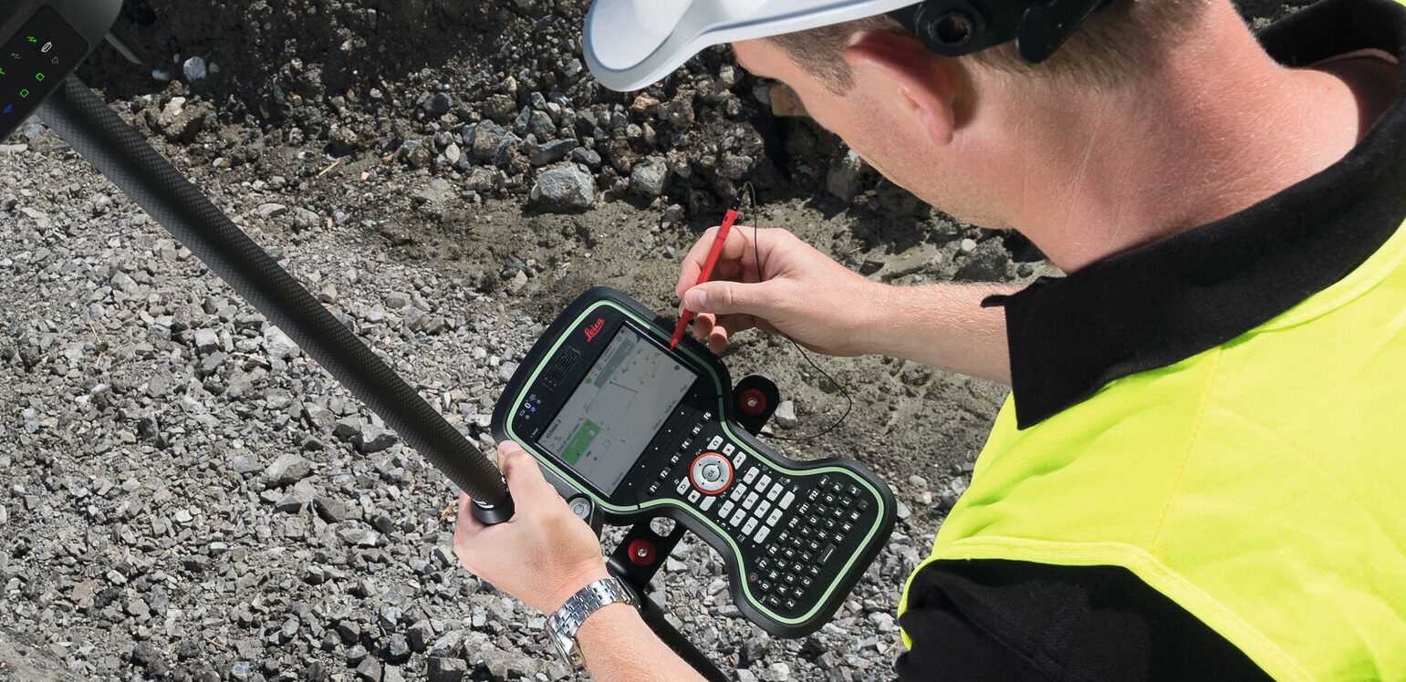
Our licensed Professional Land Surveyor (PLS) specializes in verifying land measurements and determining property boundaries essential for development, construction, real estate transactions, and legal disputes. We employ a variety of advanced surveying tools and instruments tailored to meet the needs of each project. Our comprehensive land surveying services and deliverables include:
- Legal Description and Exhibits (Legals)
- Land Survey Plat (LSP)
- Aerial Drone Services Photogrammetric and LiDar (Aerial)
- Topographic Surveying (Topo)
- Site Plans (SP)
- Construction Staking Services (Staking)
- Minor Subdivisions (Minor Sub)
- Major Subdivisions (Major Sub)
- Improvement Location Certificates (ILC)
- Improvement Survey Plats (ISP)
- American Land Title Association/National Society of Professional Surveyors (ALTA/NSPS)