Effectively documenting large-scale environments from an aerial perspective
Unmanned aerial systems (UAS), commonly known as drones, have transformed the way complex scenes are documented and analyzed. Knott Laboratory uses advanced drone technology to capture high‑resolution aerial data that supports accurate, defensible forensic analysis across a wide range of investigations.
Knott Laboratory’s drone investigations are designed to support forensic accuracy, not just visual documentation.
High-Resolution Aerial Imaging
We collect detailed aerial photographs, video, or surveys that clearly show scene layout, distances, and relationships between objects, vehicles, and structures.
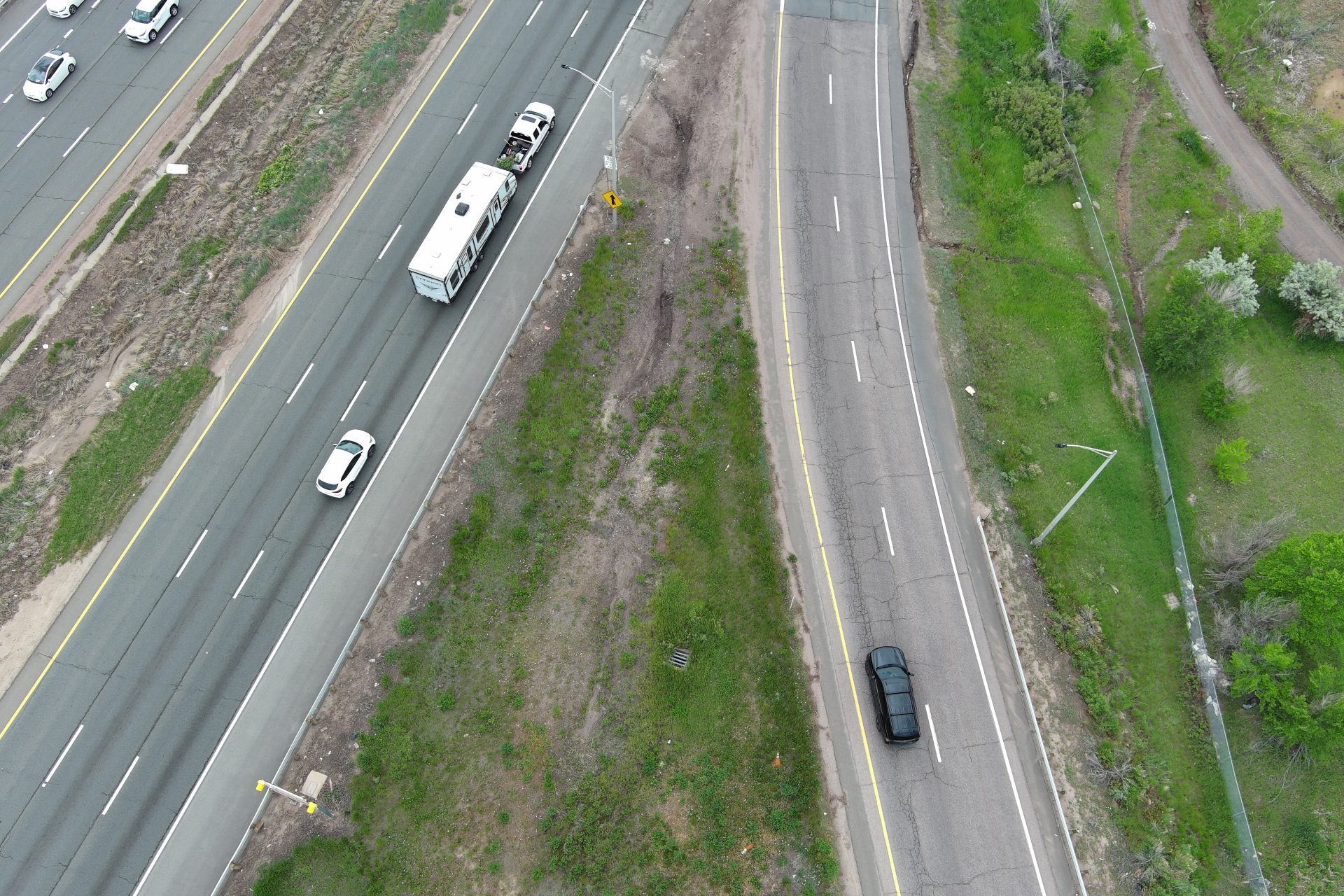
Orthomosaic Mapping
Drone imagery can be processed into scaled, top‑down maps that allow investigators, attorneys, and experts to examine scenes with measurable accuracy.
3D Scene Modeling
When appropriate, drone data can be used to support three‑dimensional reconstructions that assist with analysis, demonstrations, and expert testimony.
Safer, More Efficient Documentation
Drones allow investigators to document large or hazardous areas without putting personnel at risk or disrupting active roadways, worksites, or unstable environments.
Drone-based documentation is particularly valuable in cases involving:
- Vehicle collisions and multi-vehicle accident scenes
- Construction site incidents and workplace accidents
- Structural failures and roof or building damage
- Large outdoor scenes with limited access
- Industrial, agricultural, and remote locations
- Evidence preservation before a scene changes
By capturing aerial imagery early, critical spatial relationships can be preserved for later analysis and litigation support.